Tuesday, July 30, 2013

La Paz, Bolivia

From Puno, we hired a cab to take us to the Bolivian border. The trip was less than two hours to the small border town of Desaguadero. We walked over a small bridge lined with people selling goods and we were there!


The three of us gringos walked across and stood there for a second looking where to go. It wasn't clear exactly where the immigration office was so after discussing our options for a second, we decided to keep walking. I'll admit, part of this decision was fueled by the fact that americans have to pay $135 to enter Bolivia, however, it's not like we hid in a truck bed under barrels of hay. We were 3 gringos with massive 70-80 liter backpacks standing and looking around at a slow border. We stood out, and it was not clear where to go. So, we kept walking and hopped on the first combi we saw that was heading to La Paz.

A few hours later, and we had arrived in the middle of a downpour. We ducked into the first restaurant we saw for cover, a bite, and a beer.

A travel tired Alex sporting her first PaceƱa (from La Paz)
It took us a few tries to find a hostel that was okay with the fact that we were never stamped at the border (and hence, not legally in the country), but we found a decent one, dropped off our things and got ready to explore. We headed out on the city of peace to see what it had to offer.

La Paz is the world's highest capital city at 3,650 m (11,975 ft). That's more than twice as high as Denver! So La Paz is cold. It's also the cheapest country in South America to buy alpaca wool, crafts and clothes. So naturally, we headed towards El Mercado de Las Brujas (The Witches Market). This place turned out to the shinning highlight of La Paz.

The Witches Market was filled with alpaca sweaters, scarfs, hats, gloves, at a cost even lower than in Peru (which is also known as being a cheap country for shopping). We went a little nuts with gifts for our friends and family but realized we didn't spend THAT much. An Alpaca sweater could cost as little as $8, and hats and scarfs cost around $3. There were also tons of tempting and cheap hammocks, musical instruments, beautifully pattered guitar straps, handmade earrings, and of course the dried out almost shrunken heads of animals. Wait, what? Yeah. (sorry no pictures of this, I didn't want to upset the witches).

This is the cheapest and most interesting place to shop the country known for cheap and interesting things to buy. If you can only do one thing in La Paz, go to El Mercado de Las Brujas with $50.

Mercado de Las Brujas

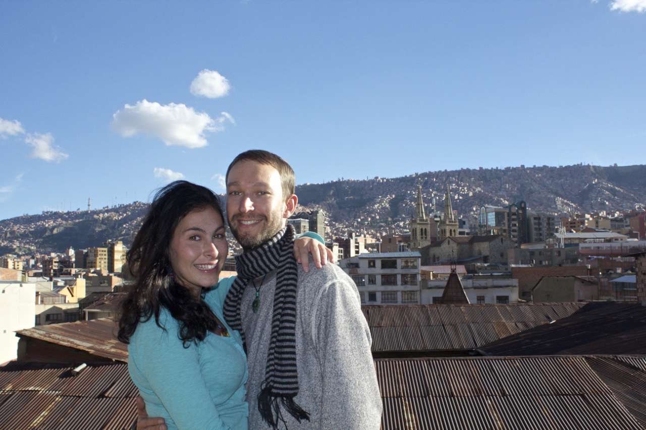
View from the outdoor back patio of our hostel

Monday, July 22, 2013

Puno Peru - Lake Titicaca


Thanks to Jacob's research, we decided to make the most of our time in Southern Peru by taking a week or so to get to Bolivia, Chile and back. The first stop on this amazing loop was Puno. We found a cheap bus with Flores which ended up being a 6 hour trip with no bathroom. We held it, we made it. Puno is cold due to the altitude, which is an impressive 3,830 m (12,556 ft). Puno is famously the southern gateway to Bolivia (where goods are cheaper), and the Peruvian city with shoreline on the massive Lake Titicaca. 


Lake Titicaca is massive. It's the largest in South America. The lake is shared between Peru and Bolivia, with plenty of deep blue water to go around. It's incredible that a lake so large and so deep can exist at that altitude. We were told that the reflection of the sun on the water helps keep temperatures on the lake and islands higher than on the mainland. Lucky for us it was a sunny day for our day tour of the lake. Our first stop was the Floating Islands, a short ride from the shore of Puno. These islands are exactly what it sounds like, man-made with reeds, and floating. On the island, they demonstrated how they weave dried reeds to create boats, homes, archways, and the islands themselves. Pretty incredible. 


After snapping sufficient pictures, stopping at a couple different islands, and getting a ride in a row-boat reed style, we boarded our tour boat once again and headed on a 45 minute ride to Taquile Island. 

As Puno fades away to blue

Taquile Island is 45 Km off the shore of Puno. The distance from civilization, the blues of the water and the sky as well as the endless green of the island, all combine to make you want to stop and stare in peaceful thought. As Taquile was a part of the Incan Empire, I imagine the views haven't changed for many centuries. 


Taquile Island
Viva El Peru!

Saturday, July 20, 2013

Chiguata


We took a day trip, our last weekend in Arequipa, out into the countryside. We found our way to Chiguata, located at the base of El Misti and just a couple miles from the Salinas y Aguada Blanca National Reserve (10 miles east of the city of Arequipa). We were looking for a hiking path that we were told was scenic and peaceful.


We hopped a combi to a cab and finally made our way to the plaza of Chiguata. After inquiring about the path to the lady in the bodega next to the church, she pointed us down the dirt road towards Misti that would turn into another dirt road that would turn out to be the path we sought out.


Snowcapped Pichu Pichu in the background. 
After settled on our path, the foregrounds began to flow like lava as Misti towered over the green valley. The sky was so big and blue until the territorial Eagle seemed displeased with our presence. At that point the sun was falling in the sky so we decided we had sufficient fun and headed back to catch a crowded combi home.


Friday, July 12, 2013

Colca Canyon

I landed back in the States a week ago and I'm finally getting around to sorting through and posting pictures from the rest of our travels over the last three months. First on the list chronologically is our trip to Colca Canyon. Alex had two friends visiting us from the states, Christina and Ceciley. They had plans to go to Colca, the 2nd deepest canyon in the world, while myself and my friend Jacob had plans to one-up them and spend a few days in the more remote (and deepest canyon in the world) Cotawasi Canyon. We figured separate guys and girls canyon time would be cool. However, for some reason all of the bus tickets were sold out to Cotawasi, so we scrapped our plans and I tagged along with the girls to Colca. Thanks for letting me crash Girls Hike!

I have to start by saying that Colca Canyon is TWICE AS DEEP AS THE GRAND CANYON! It is an incredible 13,650 feet deep! That's almost as deep as the tallest US mountain is tall! This may be easier than hiking into Cotawasi (because Cotawasi is more remote) but this will not be easy. Pack your bag but keep it light.

We used our usual guide company Wayki Tours and had Joel as our guide. We woke up around 3:30 AM, grabbed our bags and headed to our scheduled pick-up spot at Plaza Yanahuara. We got on a bus with a dozen other travelers who made up two different tour groups. Two hours or so later, the sun was up and we were ready to start Day 1. The descent into the canyon and down to the river, lasted about 3 hours where we crossed a bridge. From there, it was another 3 hours to the Oasis, where a refreshing pool awaited us, impossible to resist.

The following day was a steep 3 hour gluteus building workout. I will not mention names, but some of our party rode mules instead.

I took over 700 pictures on this two day hike so that could be part of the reason why it's taken me this long to make this post. That's also the reason why there will be so many pictures below, and few words. Colca Canyon top 24. Enjoy.

We were lucky to see the condors cruising at Cruz Del Condor


Early view of the Oasis as we walk away from it on the wrong side of the river towards the bridge.  It kind of looks like South America from here. 


oh man, I want one
Tiny Bridge!


This cross was erected by the Spanish at an ancient and spiritual place where the indigenous people worshipped only the earth through puma, condor and snake. 
Oasis. So close. 
My shoulder-massaging waterfalls
From the top! We climbed out of Colca!


The Colca Canyon Kids!


On the ride home we stopped to check out some grazing Alpaca